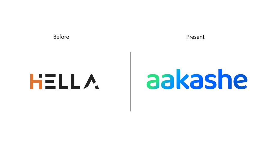
Hella Infratech is now Aakashe: Mapping Bharat with Visionary Rebranding
Hella Infratech, a pioneering name in the realm of drone mapping and survey, proudly announces its transformative rebranding as Aakashe. With a steadfast commitment to innovation and progress, this strategic rebranding marks a pivotal moment in the company's journey towards expanding its business horizons and embracing a name that resonates profoundly with its vision to map Bharat.

Hella Infratech, a pioneering name in the realm of drone mapping and survey, proudly announces its transformative rebranding as Aakashe. With a steadfast commitment to innovation and progress, this strategic rebranding marks a pivotal moment in the company's journey towards expanding its business horizons and embracing a name that resonates profoundly with its vision to map Bharat.
The decision to evolve from Hella Infratech to Aakashe stems from a deep-seated desire to align the brand's identity with its overarching mission and values. While Hella had established itself as a symbol of credibility and recognition within the market, the company recognized the need for a name that effortlessly captures the essence of its aspirations and resonates with a broader audience.
Aakashe, derived from the Bangla word meaning "in the sky," embodies the brand's commitment to reaching new heights and unlocking boundless possibilities. As the brand sets its sights on mapping the entire nation, Aakashe serves as a beacon of innovation, empowerment, and inclusivity.
While Aakashe's official website, www.aakashe.com, remains under wraps until April 25th, 2024, anticipation and excitement are already palpable across various sectors. The promise of a solution that simplifies complex workflows and empowers users to harness the full potential of drone data has generated widespread enthusiasm and anticipation.
Speaking on behalf of Aakashe, Ankush Sengupta, Co-Founder, expressed his excitement about the rebranding, stating, "Our transition to Aakashe signifies more than just a change in name; it represents our unwavering commitment to innovation and progress. With Aakashe, we are poised to embark on an exciting journey of exploration, discovery, and transformation as we continue to map Bharat and beyond."
"We believe that our new mission has the potential to redefine industry standards and unlock new possibilities for innovation," added Mr. Ankush Sengupta. "We invite stakeholders across the infrastructure, smart city, civil engineering, real estate, municipal, and drone mapping & survey sectors to join us on April 25th as we unveil the future of drone imagery data."


